Undeterred by the sightly damp weather which had followed several days of bright sunshine, sixteen members of the Society set out on the morning of 8th June to explore the lower eastern slopes of Schiehallion.

Dr. Liz Auty, the Property Manager of East Schiehallion site which is owned by the John Muir Trust, acted as our guide. Liz is familiar to members of the BHS as a speaker, most recently on the subject of Neville Maskelyne, the Astronomer Royal, who between 1774 and 1776 conducted experiments on the mountain in an attempt to determine the density of the earth.

There was plenty to see along the tracks, with plentiful signs that these lonely slopes, now inhabited only by sheep and wildlife, had witnessed human activity for many thousands of years.
We stopped to examine a large cup-marked boulder near the track, the earliest record of human presence, dating back perhaps 5000 years.


Cup-marked boulder
Rather more recent is the site known as Fuaran Na H-Inghinn where the remains of several large long-houses, probably medieval, are barely visible under the layers of turf and heather, their stone walls having been robbed to build a sheep fank in the late 18th or early 19th century when a change of use of the land meant the mass introduction of sheep by landowners amid the infamous highland clearances. Other evidence of an earlier way of life can still be seen in the corn-drying kiln near the long-houses, now a sunken hollow.


Long house


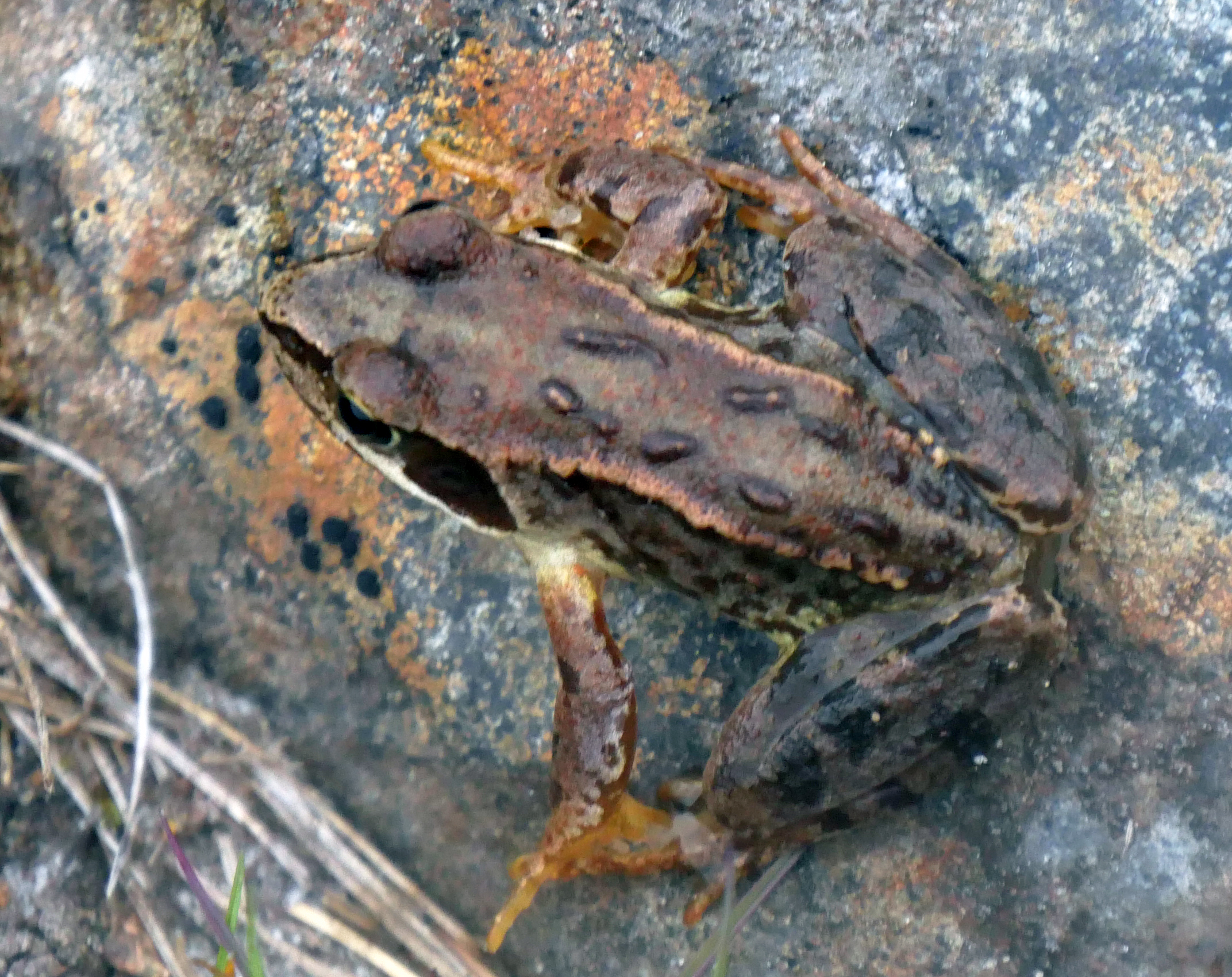
Common frogs
Along the way Liz pointed out various flowers: the rare Mountain Everlasting with its tiny furry blossoms, the bright blue of Common Milkwort and the starry white flowers of Chickweed Wintergreen, a localised plant here growing in profusion beside the track.


Mountain Everlasting with its tiny furry blossoms Bird’s-foot Trefoil and Common Butterwort

Few birds were to be seen except for a single Kestrel searching for prey and Whinchats perching on fence posts.
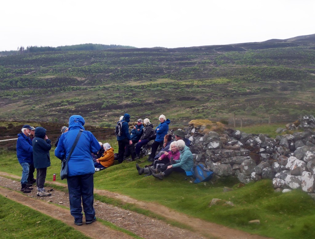
After a pause for a welcome hot drink and snack beside the walls of the sheep fank . . .

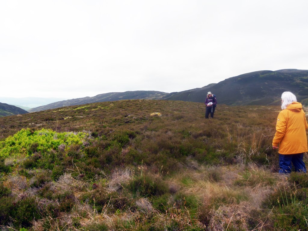
. . . the group continued upwards and into an area which has recently been fenced off to keep out deer and allow natural vegetation to grow; numbers of small birches, rowans and other species of trees are now appearing above the bracken and in time will become a forest.

Our final archaeological site was a large hut circle, dating to the Late Bronze/early Iron Age, hardly visible now from the ground under the vegetation although, as Liz pointed out, these sites show up quite well in drone photos.
Just visible on the horizon were two cairns, constructed at the time of Maskelyne’s experiments as aids to measurements, and now added to by walkers. We were now at around 400 metres above sea level and time did not allow for a visit to the observatory platform at 750 metres which will have to be kept for another visit.
Everyone agreed that it had been a most enjoyable tour and we are grateful to Liz Auty and of course to Ian Stewart for arranging the visit. If you would like to view the talk which Liz presented to the Breadalbane Heritage Society on Friday, 19th November, 2021, and learn more about the work of Neville Maskelyne, Astronomer Royal, and the John Muir Trust at their East Schiehallion site, you can view this here:

If you wish to view this video at a larger size, click on the ‘full screen’ button at the bottom right-hand corner of the image above:
Thanks for this review compiled by Fran Gillespie, and photographs provided by Lesley Whitwood and Ian Stewart

You must be logged in to post a comment.