17 BHS members participated in the final BHS summer excursion for a 4-day trip to the Angus area to visit a number of archaeological and historical sites, predominantly owned by Historic Environment Scotland, from Monday the 22nd to Thursday the 25th of August.
On the Monday, we visited the Meigle Sculptured Stone Museum, the Eassie Sculptured Stone and the four sculptured stones at Aberlemno before travelling to the George Hotel in Montrose, our base for the following days. We were very lucky that John Borland, who presented a talk on Medieval Sculptured Stones for us in January, was able and keen to join us for the day and to guide us through the meaning of many of the Pictish symbols.
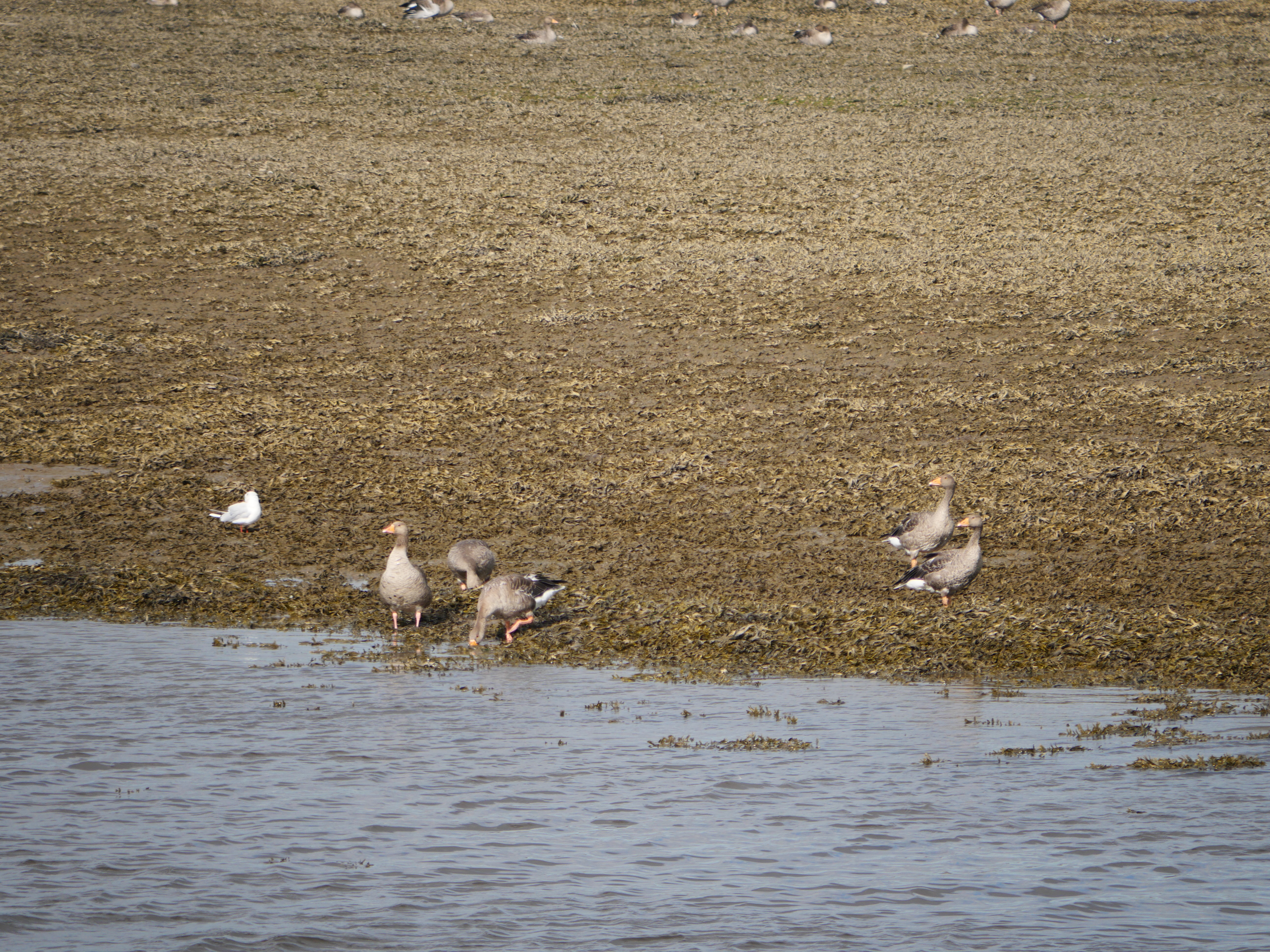
Tuesday took us to Arbroath Abbey and the Arbroath Signal Tower Museum in the morning, and to the Scottish Wildlife Trust’s Montrose Basin Visitor Centre in the afternoon.
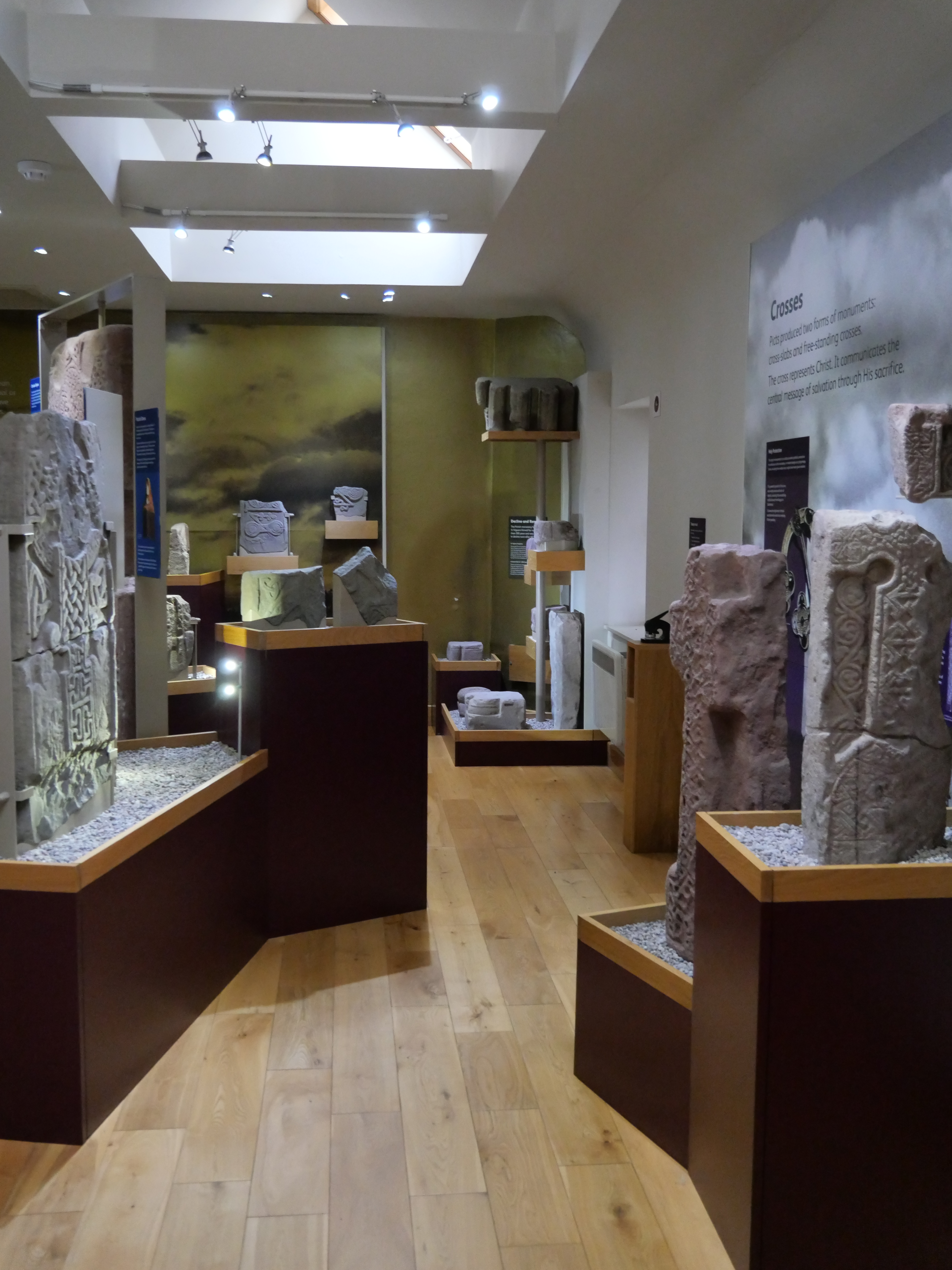
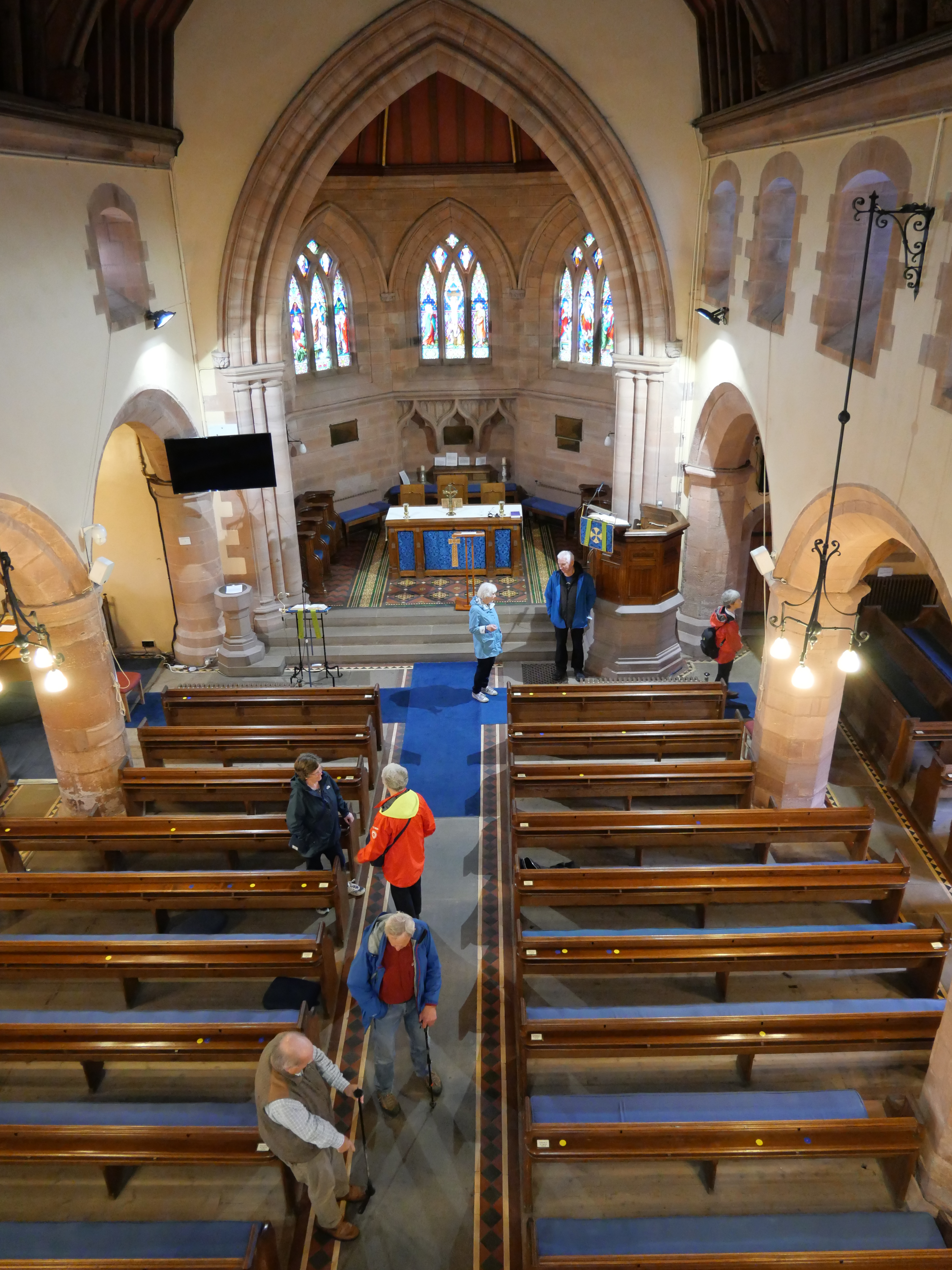
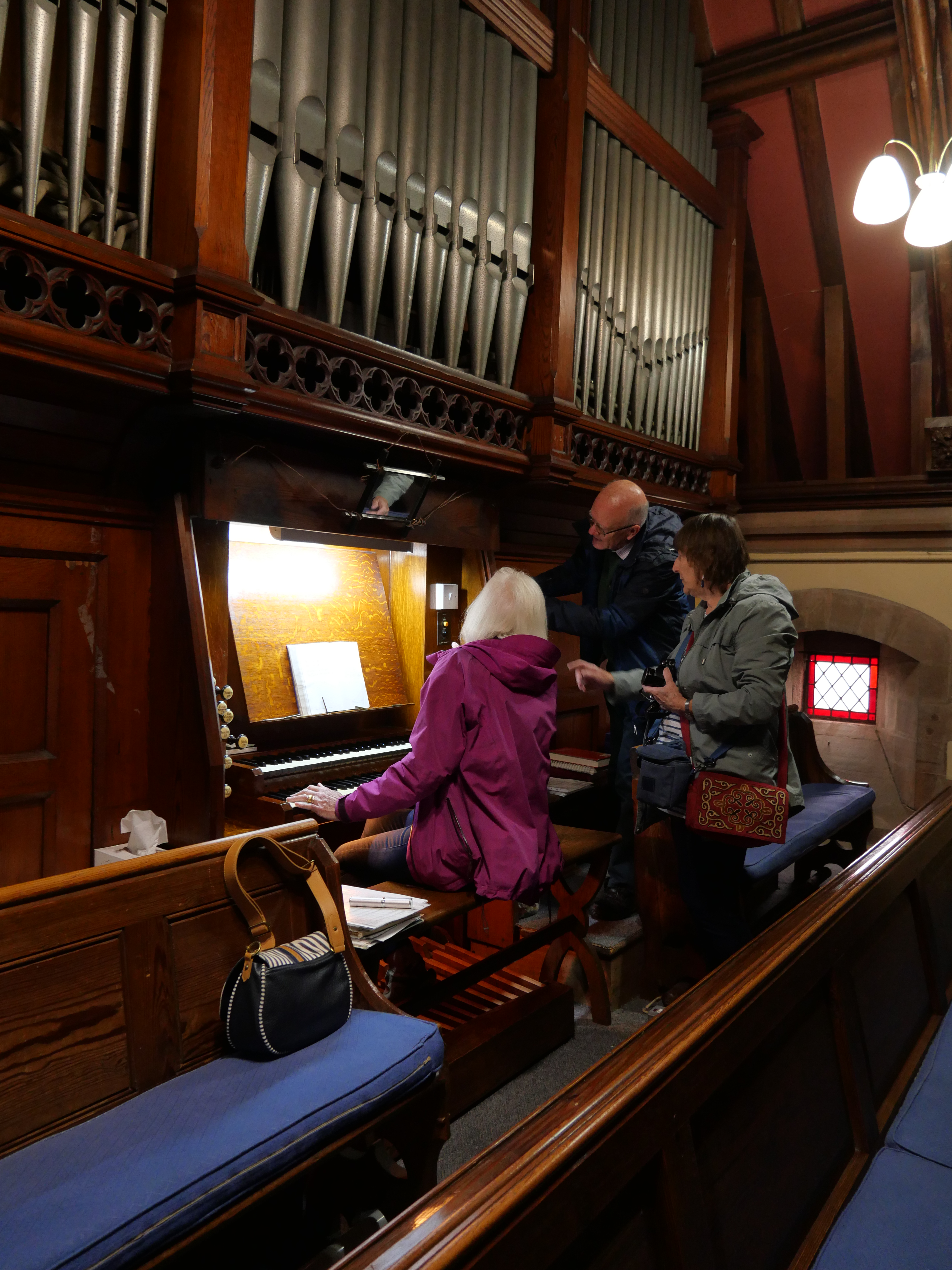
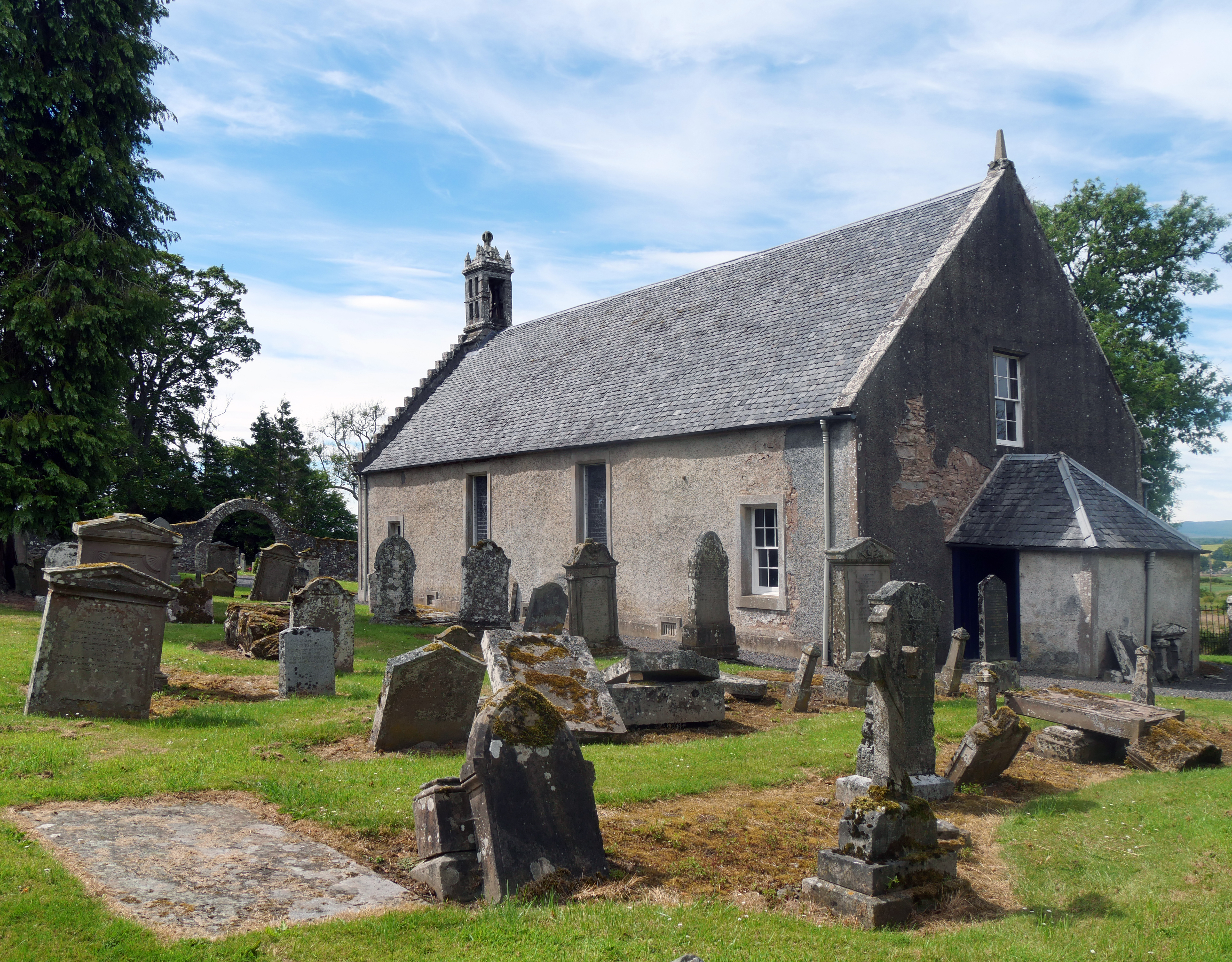
Further Pictish sculptured stones were inspected at the St. Vigeans Sculptured Stones Museum on Wednesday morning with a visit to the neighbouring St. Vigeans Parish Church before driving to Forfar to see more Pictish stones in the Meffan Institute Museum and Art Gallery.
On the final morning, we visited the National Trust for Scotland’s House of Dun and gardens just to the west of Montrose which included an informative and interesting guided tour of the interior of the house. In the afternoon, many of the fifteen members of the group managed to visit other sites on their way back to the Aberfeldy area which included the White and Brown Caterthun iron age hill forts to the north of Brechin and Restenneth Priory just to the east of Forfar.
If you would like further information on all the sites we visited, you will find a more comprehensive narrative with many more photographs on this page in our website:
On Wednesday 22nd June, 2022, a group of ten members joined Rob Hands at two local battlefield sites just to the west of Perth. We assembled at the Community Hall at Bridge of Earn and drove in convoy to the Dupplin Moor site pausing on the way to see the area where the predominantly English army camped before the battle.
This gave a sense of the terrain, especially the high ground rising from the River Earn.
Then we went on to the Dupplin estate where the battle was fought in 1332 as part of the struggle for Scottish independence from England under Edward II, then Edward III. The two armies were under the control of Edward Balliol and the Earl of Mar.
We drove up to a site which Rob Hands feels best fits the description of the terrain from the available records which suggested a narrow defile where the armies would be forced to a narrow battlefront with little chance of making a flanking attack.
The Balliol’s archers were deployed on the higher ground either side of Mar’s attacking troops and were therefore able to cause havoc among the engaging forces.
Rob suggested that this was one of the earliest accounts of a battle using the power of the yew long bow in this way and which influenced battle tactics for much of the following centuries, including Agincourt.
Balliol’s troops were eventually victorious and both the Earl of Mar and Robert Bruce (illegitimate son of Robert the Bruce) were killed in the battle.
The party then moved on to the site of the later Battle of Tippermuir (1st September, 1644). The starting point for this part of the tour was Noah’s Ark on the western perimeter of Perth.
This was the period of the English Civil War and the wars of the Three Kingdoms following the Bishops’ War of 1639-40. This battle signalled the beginning of the campaign by the royalist Marquis of Montrose in support of Charles I against the Covenanter (Government) army.
Rob Hands has a remarkable memory for the names of the participants and the formation of their battle lines which he used to portray graphically how the battle developed. In this battle the innovation which went on to influence later tactics was the ‘Highland Charge’ used by MacColla which had been successful for him in Irish campaigns and instrumental in winning this battle for Montrose’s royalists. This led to a rout of the Covenanter troops with large numbers being killed on their retreat to Perth.
All the details of these two, and other, Perthshire battles can be found in Rob Hands and Paul Philippou’s book “Battleground Perthshire” from which publication the diagrams above have been taken and where the background to, and the development of, these battles is described in much more detail.
Some of the party went on to Tibbermore Church where Montrose stopped before the battle to take a drink of water and where some 300 of the Covenanter slain are said to have been buried.
Review compiled by Lesley Whitwood with photographs supplied by Lesley Whitwood and Ian Stewart. Battlefield maps courtesy of Rob Hands from the book ‘Battleground Perthshire’, published by Tippermuir Books Ltd.
Undeterred by the sightly damp weather which had followed several days of bright sunshine, sixteen members of the Society set out on the morning of 8th June to explore the lower eastern slopes of Schiehallion.
Group start at the Braes of Foss car park
Dr. Liz Auty, the Property Manager of East Schiehallion site which is owned by the John Muir Trust, acted as our guide. Liz is familiar to members of the BHS as a speaker, most recently on the subject of Neville Maskelyne, the Astronomer Royal, who between 1774 and 1776 conducted experiments on the mountain in an attempt to determine the density of the earth.
Liz introduction by Liz at the entrance information board
There was plenty to see along the tracks, with plentiful signs that these lonely slopes, now inhabited only by sheep and wildlife, had witnessed human activity for many thousands of years.
We stopped to examine a large cup-marked boulder near the track, the earliest record of human presence, dating back perhaps 5000 years.
Cup-marked boulder
Rather more recent is the site known as Fuaran Na H-Inghinn where the remains of several large long-houses, probably medieval, are barely visible under the layers of turf and heather, their stone walls having been robbed to build a sheep fank in the late 18th or early 19th century when a change of use of the land meant the mass introduction of sheep by landowners amid the infamous highland clearances. Other evidence of an earlier way of life can still be seen in the corn-drying kiln near the long-houses, now a sunken hollow.
Long house
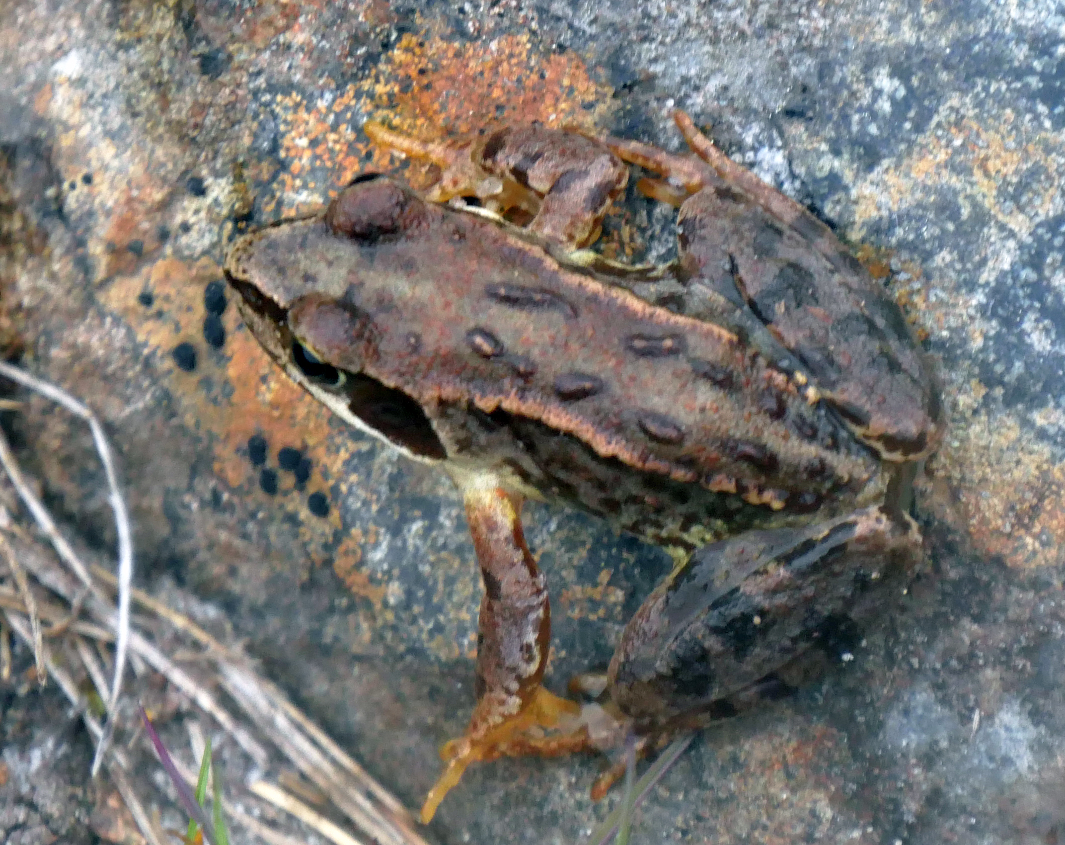
Common frogs
Along the way Liz pointed out various flowers: the rare Mountain Everlasting with its tiny furry blossoms, the bright blue of Common Milkwort and the starry white flowers of Chickweed Wintergreen, a localised plant here growing in profusion beside the track.
Mountain Everlasting with its tiny furry blossoms Bird’s-foot Trefoil and Common Butterwort
The starry white flowers of Chickweed Wintergreen
Few birds were to be seen except for a single Kestrel searching for prey and Whinchats perching on fence posts.
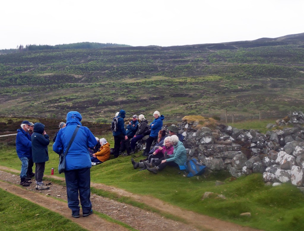
Coffee break at the sheep fank
After a pause for a welcome hot drink and snack beside the walls of the sheep fank . . .
Sheep shank
. . . the group continued upwards and into an area which has recently been fenced off to keep out deer and allow natural vegetation to grow; numbers of small birches, rowans and other species of trees are now appearing above the bracken and in time will become a forest.
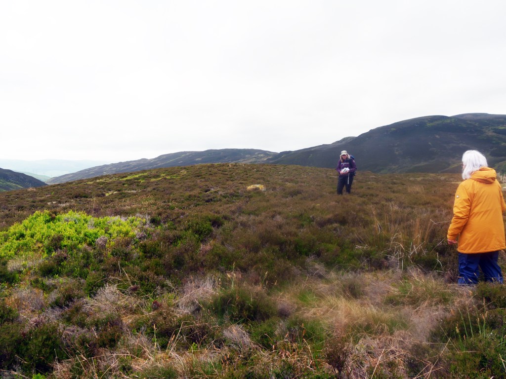
Our final archaeological site was a large hut circle, dating to the Late Bronze/early Iron Age, hardly visible now from the ground under the vegetation although, as Liz pointed out, these sites show up quite well in drone photos.
Hut circle area
Just visible on the horizon were two cairns, constructed at the time of Maskelyne’s experiments as aids to measurements, and now added to by walkers. We were now at around 400 metres above sea level and time did not allow for a visit to the observatory platform at 750 metres which will have to be kept for another visit.
Everyone agreed that it had been a most enjoyable tour and we are grateful to Liz Auty and of course to Ian Stewart for arranging the visit. If you would like to view the talk which Liz presented to the Breadalbane Heritage Society on Friday, 19th November, 2021, and learn more about the work of Neville Maskelyne, Astronomer Royal, and the John Muir Trust at their East Schiehallion site, you can view this here:
If you wish to view this video at a larger size, click on the ‘full screen’ button at the bottom right-hand corner of the image above:
Thanks for this review compiled by Fran Gillespie, and photographs provided by Lesley Whitwood and Ian Stewart
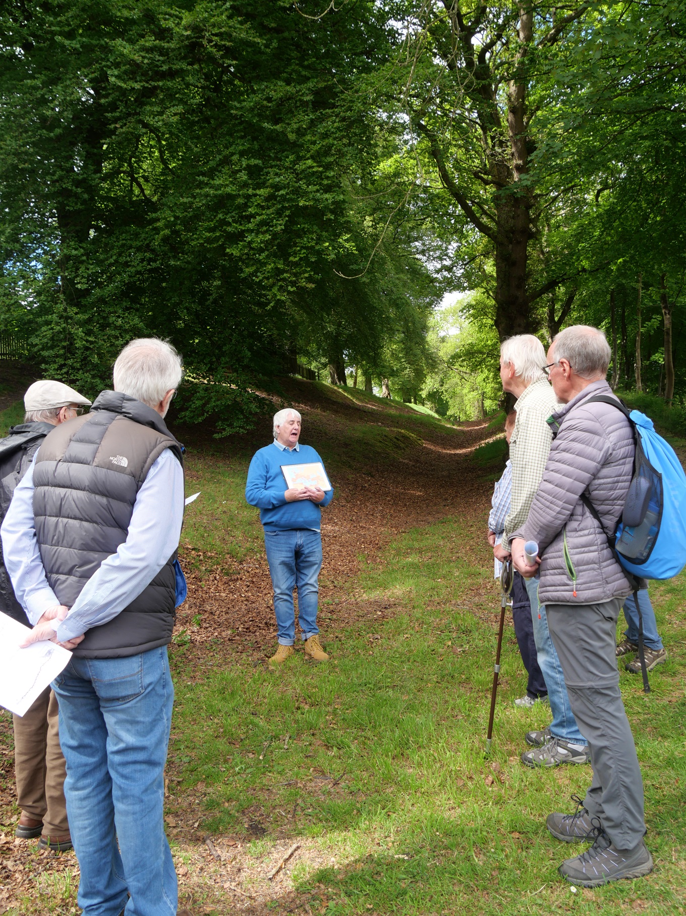
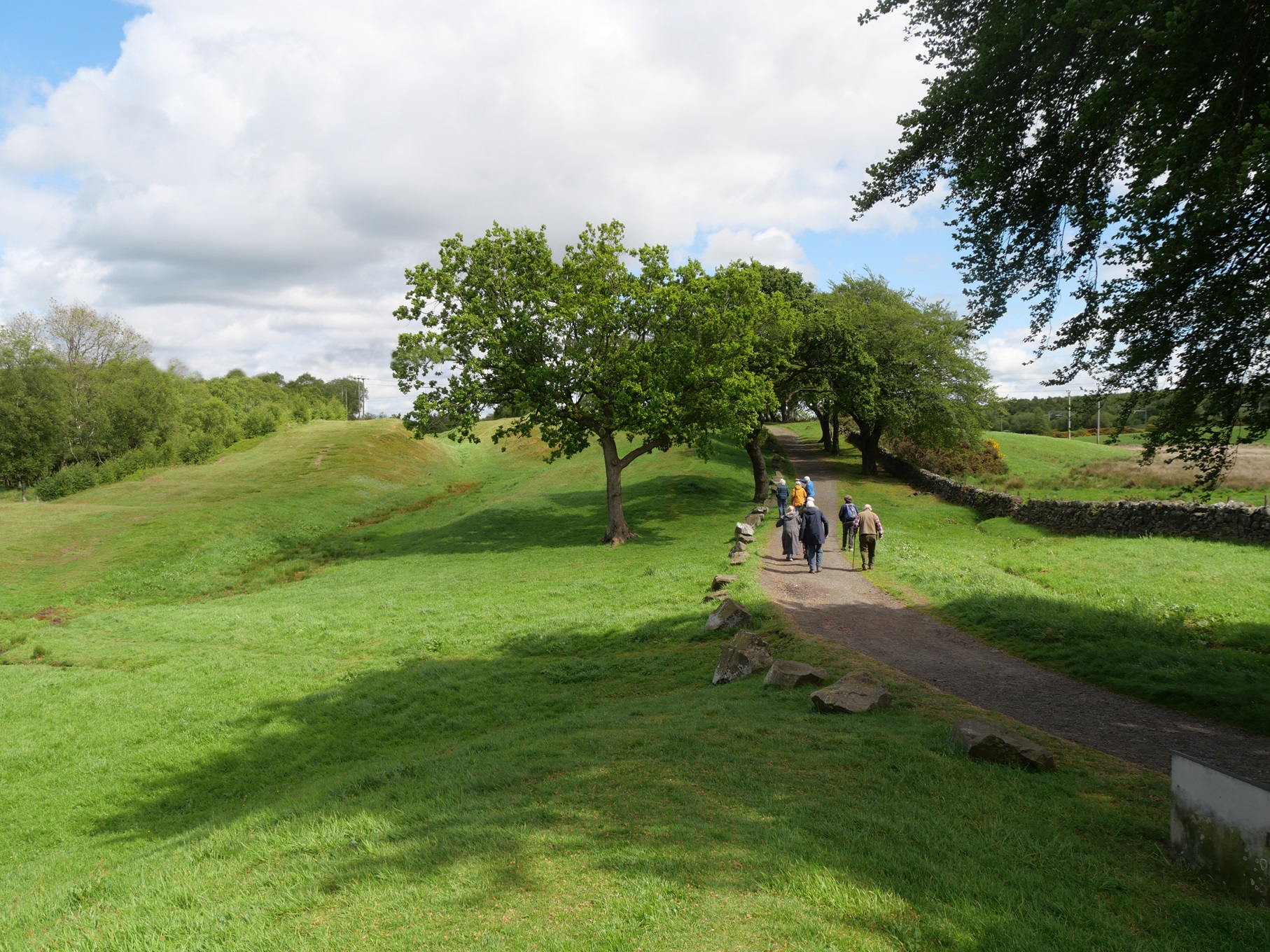
Nineteen members of the Breadalbane Heritage Society enjoyed an excellent day out on Monday, 23rd May, 2022, exploring some of the remains of the Antonine Wall, guided by expert Jim Walker who has spent many years researching it and excavating along its length. In 2019, Jim had given a fascinating talk on the wall to our members, but the associated summer trip had to be postponed due to Covid restrictions.
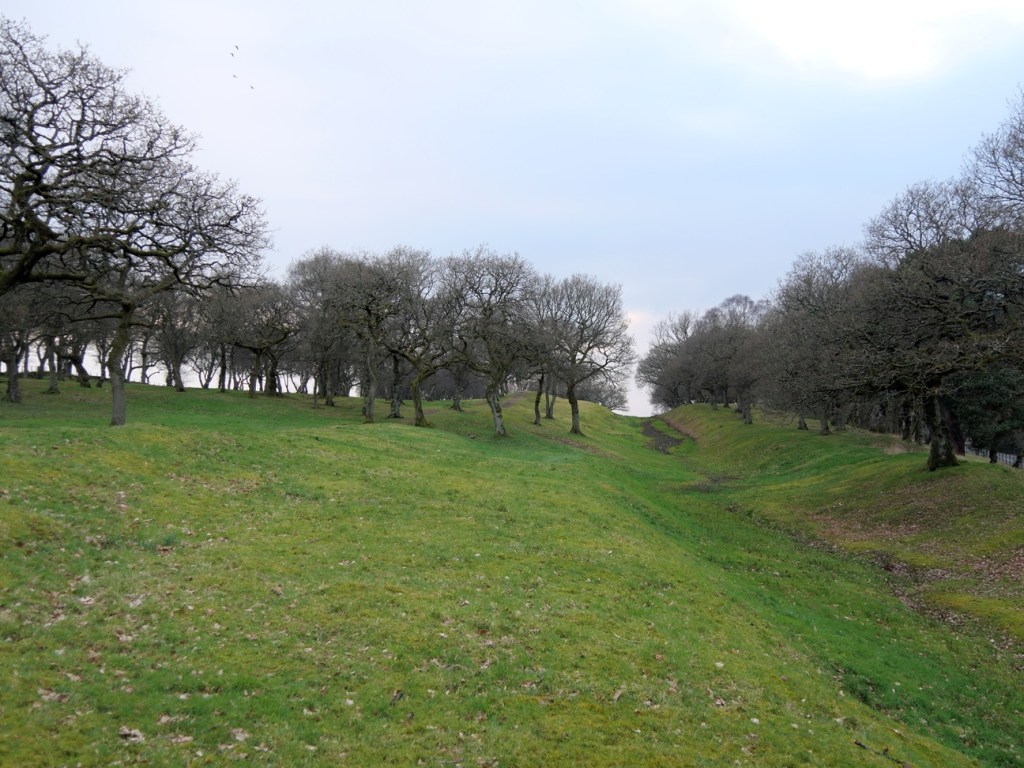
Starting in 142 AD and stretching from the Firth of Forth to the Firth of Clyde across the narrowest part of Scotland, the wall was constructed in a remarkably short time by Roman legionaries. Built of slabs of turf on a stone base, topped with a wooden palisade and aligned with a deep ditch, almost nothing now remains of the turf wall itself. However, at intervals the remains of the ditch and the substantial ramparts on which the wall was built can still be seen, plus some of the 16 forts that protected the wall and the small fortlets and signalling stations between them.
Map courtesy of OpenStreetMaps
Our tour today visited the sites of a section of the Antonine Wall and associated Roman Forts between Callendar Park in Falkirk to the east and Castlecary to the west, stopping at Watling Lodge, Rough Castle and Castlecary Fort.
First stop was the heritage centre at Callendar House in Falkirk to visit the permanent exhibition on the Antonine Wall which includes an assortment of objects ranging from large, inscribed stone distance panels which Jim explained that the Romans erected at regular intervals as each section of the wall was completed, to small finds of potsherds, gaming counters, etc., uncovered during excavations. This provided an excellent introduction to the sites we were about to visit.
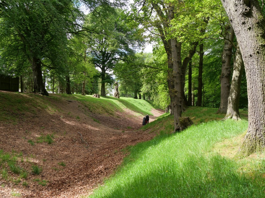
The group then moved on to an area nearby known as Watling Lodge, to explore a section of the north mound of the Antonine Wall, now covered in trees, and its deep ditch.
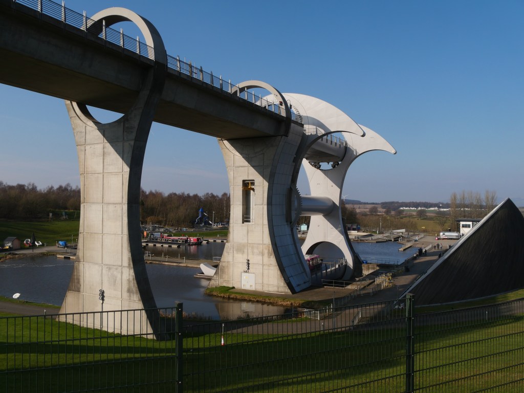
A break for lunch at the café at the Falkirk Wheel provided the opportunity to watch the canal boats being raised and lowered.
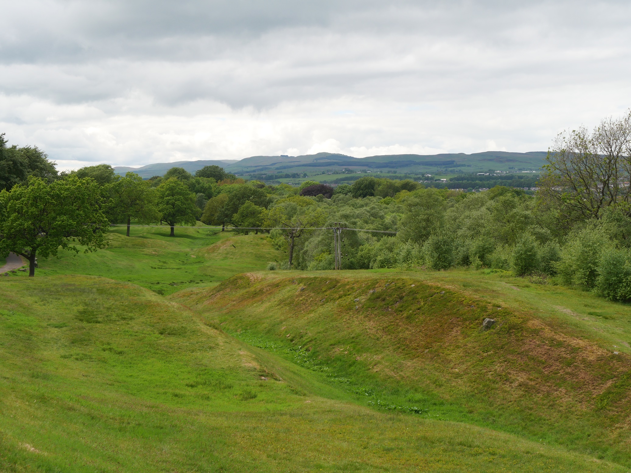
The group moved on to visit the remains of the large fort at Rough Castle beside a substantial section of rampart wall and ditch. Jim pointed out that the remains of a Roman road, now grassed over, can still be identified by its distinct camber and shallow depression on each side.
Extra protection to the wall was provided by what are known as lilia – deep holes dug in staggered rows, each containing sharpened wooden stakes as a simple but effective deterrent to attackers. A section of these pits can still be seen at Rough Castle.
Green-veined white and Orange-tip butterflies on the right were seen in this area.
Green-veined1 on the left, Orange-tip on the right
We had originally intended also to visit the Seabegs Wood section of the wall but due to very limited parking there, we had to omit it from today’s visits. However, from a previous visit, this is what we would have seen. Jim had mentioned that he had been involved in the discovery and excavation of a Roman Fort just to the west of the wood, but this is now buried under a farmer’s field.
The final stop was to see what is left of the fort at Castlecary, which had a railway line built right through it in 1841.
Jim said that there are records that, until then, parts of the stone buildings of the fort were still standing to a height that provided shelter for shepherds in bad weather, but the landowner allowed them to be completely demolished, and now there is little to see. He pointed out that many of the distinctive squared stones from the fort are now built into the 19th century wall which borders the area.
Without expert guidance it would have been hard to fit visits to such a varied and interesting range of places into a day’s tour, and the meticulous planning by Jim and Ian Stewart ensured that it was a great success. Jim Walker’s short and clear talks, as well as the extensive illustrated handouts which he provided at each site, added greatly to the enjoyment and understanding of this remarkable wall and its forts.
Thanks for this review compiled by Fran Gillespie, and photographs provided by Lesley Whitwood and Ian Stewart
In what may be the Society’s first-ever offshore excursion, fourteen members visited the tiny island of Iona for three nights at the beginning of September last year. This long-awaited trip had been booked for September 2020 but had to be postponed due to Covid lock-down.
Based on our three-night stay there and on photographs taken at the time, we have compiled a short video of many of the places that we visited. If you have never been to Iona, hopefully this may encourage you to visit this beautiful, spiritual island.


You must be logged in to post a comment.